Google is making good on its plans to improve Maps and Earth by
adding high-resolution imagery. The company has announced that it's
added better aerial and satellite photos for 25 cities and 72 regions or
countries, a significant expansion. There's a full list
on the Lat Long blog,
but several parts of Spain and the US have new high-resolution aerial
imagery, and Brazil, China, Mexico, and many other countries have new
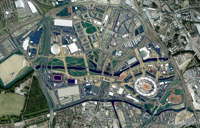
satellite pictures. Besides this, there's new 45-degree imagery in 21 US
cities and seven elsewhere. Besides giving users a better look at
Munich and London landmarks (especially with the Olympics underway),
45-degree imagery is also what Google uses to
build its 3D models. Bing Maps
recently updated its high resolution database as well, adding 230,004 square kilometers of territory.


No comments:
Post a Comment